From Pokémon GO to GTA 6: How GIS Shapes Modern Gaming
Modern video games can recreate the real world with stunning precision, and GIS technology is what makes that possible. In fact, when fire ravaged Notre-Dame Cathedral in Paris in 2019, a detailed digital model built for the video game “Assassin’s Creed Unity” surfaced as a potential reconstruction reference.
GIS is rapidly reshaping what it means to play video games today. This article examines:
GIS (Geographic Information Systems) is a geospatial technology that turns real-world locations into data that can be mapped, visualized, and analyzed. It works by layering different types of spatial information—like satellite imagery and terrain elevation—to build detailed, interactive maps.
Though increasingly used in video games, GIS is also widely used across industries like:
GIS integrates into modern games by converting real-world geographic data into in-game environments.
Imagine walking through your neighborhood while playing “Pokémon GO.” On your phone, that same environment appears, but enhanced. You see nearby PokéStops, gyms, and bushy-tailed, pointy-eared creatures layered onto real streets and landmarks.
This is an example of a modern gaming experience powered by GIS technology.It turns everyday space into a playable (and addictive) environment.
Here’s how GIS has shaped four key areas of modern gaming.
#1 Geospatial Mapping and Live Data Integration
Location-based games use GPS tracking and real-world map data to anchor gameplay to actual locations.
Games like “Pokémon GO” use the same principles behind navigation tools such as Google Maps: GPS data tracks a player’s position through geotagging, while mapping systems anchor gameplay to real-world places—like your neighborhood. Before GIS, games were built with handcrafted, static 2D environments.
Game engines like Unity can integrate live data streams. Game developers can then pull geospatial data like:
Real-time maps
User-generated content
Real-world changes
This allows games to reflect real-world locations that change dynamically over time.
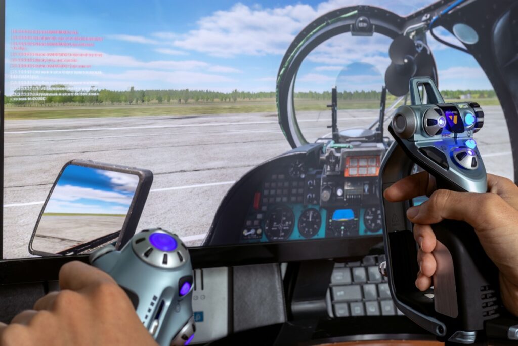
#2 Immersive, Real-World Terrain Simulation
The game “Microsoft Flight Simulator” renders near-perfect recreations of Earth’s terrain by using three types of real-world satellite data:
Satellite imagery
Elevation models
Geographic data
AI-assisted tools then transform those flat landscapes into fully realized 3D environments: detailed replicas of Earth’s mountains, coastlines, and plains.
#3 Educational and Training Applications
Video games aren’t just for couch rotting (although they’re great for that, too). GIS-powered games can teach real-world skills, from city planning to environmental management.
“SimCity” is a classic example of a geogame: a type of game that blends geography and gameplay. Players learn to build cities, manage infrastructure, and allocate resources in urban environments. Even sandbox games like “Minecraft” rely on core spatial design principles that players naturally learn as they build and explore.
Industries like the military and aviation use GIS-powered simulations in their training programs. Other geogames, like “Project Lake Ontario,” use GIS-powered tools to explore environmental issues through gameplay.
With GIS, games can entertain and teach players how complex systems actually work.
#4 Procedural World-Building
Procedural world-building is the process of using algorithms and real-world data to generate large, detailed game environments automatically, rather than designing every element by hand.
As “Assassin’s Creed Unity” taught us, developers can use GIS data to build historically accurate, geographically realistic open worlds. The game rebuilt entire historical cities using detailed maps, historical accounts, and geographic data—not just Notre-Dame Cathedral.
The open-world design of “Grand Theft Auto VI” is set in a fictionalized version of Florida, shaped using GIS data. Locations like Grassrivers are a real-life nod to Florida’s Everglades, making the environment feel instantly familiar—even to new players.
The result? Believable, scalable game worlds.
The Challenges of Geospatial Technology in Modern Gaming
While there’s a unique thrill to getting lost (sometimes way lost) in a realistic game, GIS in gaming raises real data privacy concerns.
Location-based games like “Pokémon GO” depend on GPS data to track player movement, sometimes continuously. That means developers can collect sensitive location information. Some developers are even exploring digitally cloning real people for more immersive gameplay.
As GIS becomes more integrated into our gaming consoles, balancing innovation with data privacy is going to become a critical discussion.
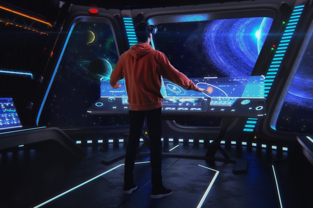
That means video games may evolve into dynamic living worlds, with experiences that continuously adapt and respond in real time, like the holodecks imagined in “Star Trek.”
The question isn’t whether these advances are coming. It’s who’ll know how to build them.
Key Takeaways
Before GIS, games were generally handcrafted: built with 2D graphics, limited scale, and static environments. But GIS did more than improve visuals. It transformed them into immersive, dynamic systems that mirror reality.
In this article, we learned:
GIS connects physical movement to digital experiences, blurring the line between player and character.
Spatial data powers dynamic worlds that respond to real-world conditions.
Modern games are evolving into learning tools, helping players explore and understand complex systems.
With hyperrealism comes new challenges, including data privacy and personal information tracking.
From Virtual Worlds to Real-World Skills
The concepts behind modern gaming—like building a virtual city or exploring a replica of a real-world location—translate directly into real-world applications through GIS.
GIS can be applied to nearly every industry, from urban planning and environmental sciences tovideo game development. It’s a versatile and practical skill set.
On December 26, 2004, a massive earthquake struck beneath the Indian Ocean and sent a wall of water nearly 100 feet high outward. It barreled into South Asia at 30 miles an hour, wiping out communities before most people even knew what was coming. By the time the waves crossed the ocean, nearly 230,000 lives had…
Imagine you’re commuting to work and your Google Maps loses signal. Suddenly, the little blue dot stops moving and you don’t know where you are. Panic ensues (for some of us). Modern devices constantly broadcast our location through GPS, Wi-Fi, cell towers, and apps. We’re basically walking beacons of sensitive data. But here’s the flip side:…
Flu season is here again, with all its aches, pains, and fevers. But scientists have a powerful tool to fight back. The GPS technology used to plot your rush-hour route home? It also powers GIS (Geosciences Information System) tools that help public health officials pinpoint infectious disease outbreaks, limit their spread, and spot gaps in…
Apollidon Content TeamContent Team
The Apollidon Content Team combines expertise in marketing, content strategy, SEO/GEO/AEO, and student engagement to create content that helps colleges and universities reach prospective students. Through research-driven insights, data-informed strategy, and compelling storytelling, the team develops resources that increase visibility, strengthen institutional brands, and support enrollment growth.